Stonehell: Base of Operations

Late in October I asked for some megadungeon advice. I’ve dabbled in Barrowmaze and had Stonehell on order when I made that post. I have not read all the way through Stonehell just yet, but from what I have read so far I think it would work quite well for a megadungeon campaign. There is enough going on to keep things interesting and for the GM to play off of.

Now I am down to trying to decide which ruleset to use. I am a big fan of Swords & Wizardry. But if I get this off the ground – this campaign is supposed to be a short term winter time campaign and I am looking for the path of least resistance – which means maybe I should run it in Labyrinth Lord to avoid any conversion whatsoever. I want the time I spend on the campaign to be building threads of intrigue – not conversion, regardless of how easy it is to convert between OSR systems.

Comments are welcomed on the S&W versus LL decision that needs made.

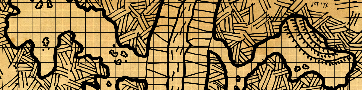
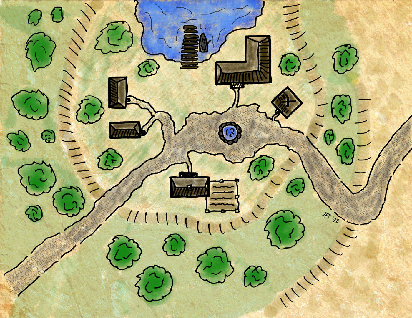
As I write this the first snow of the season is about to be upon Ohio. If I am going to get this winter campaign going I need to get moving! The first thing I needed was a large town to be the base of operations. Feeling a little guilty for running a published adventure instead of writing my own, I attempt to remedy that by creating my own town for the characters to work out of.

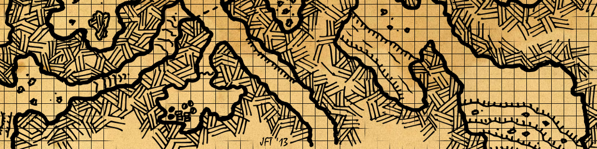
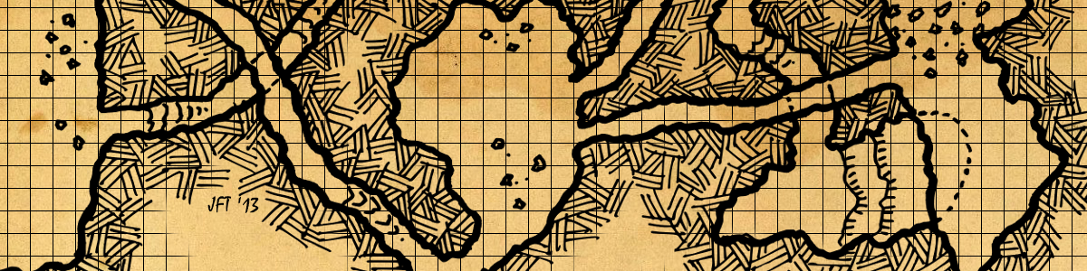
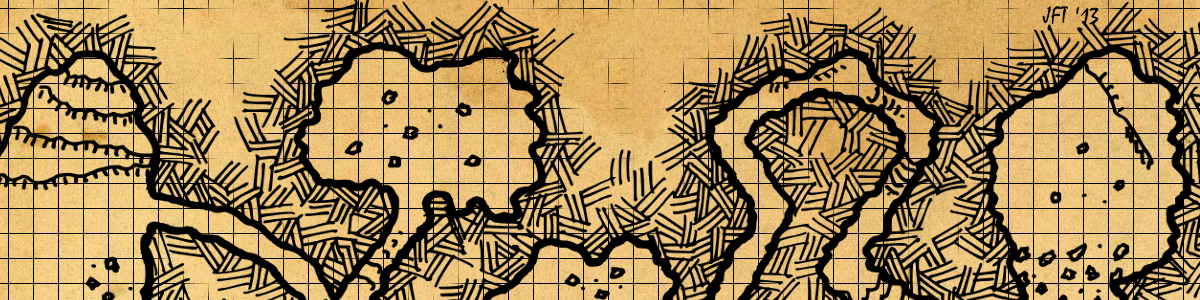
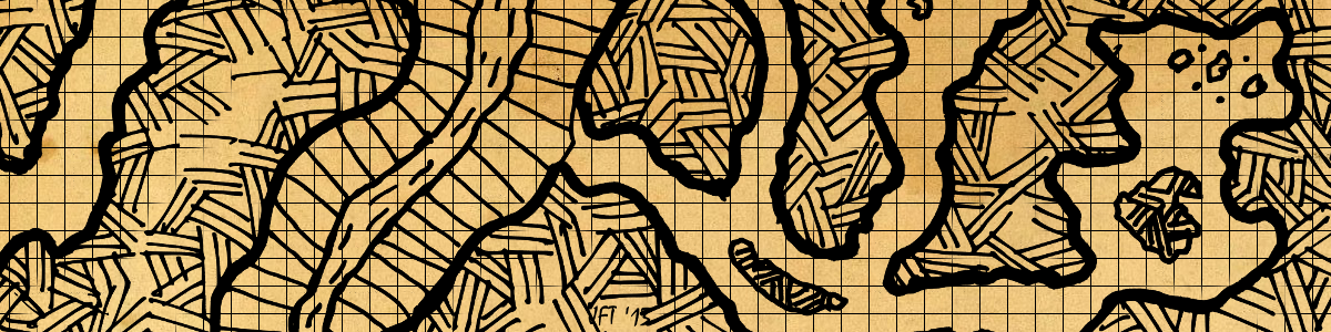
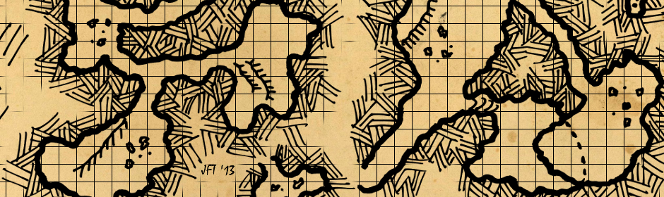
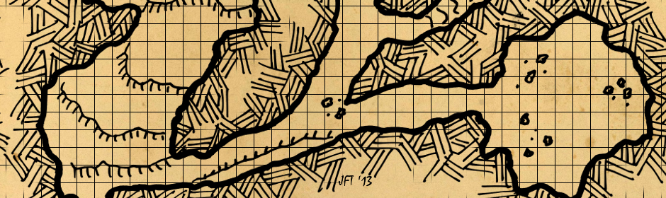
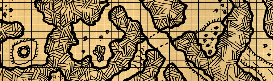
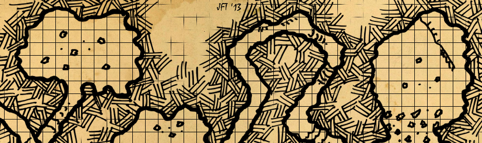
I had a rough idea of what I wanted and drew up a map. With map in hand I did a short write-up on the town. I like to have just enough framework that I understand the town, establishment, NPC, etc that I can run with it on the fly. So the write-up briefly touches on the town’s history, what makes it thrive today, and establish a general feel of the place. By putting these thoughts down I am much better prepared to handle things on the fly during a game session.

I present you the Town of Thassel!

Thassel

Town of Thassel

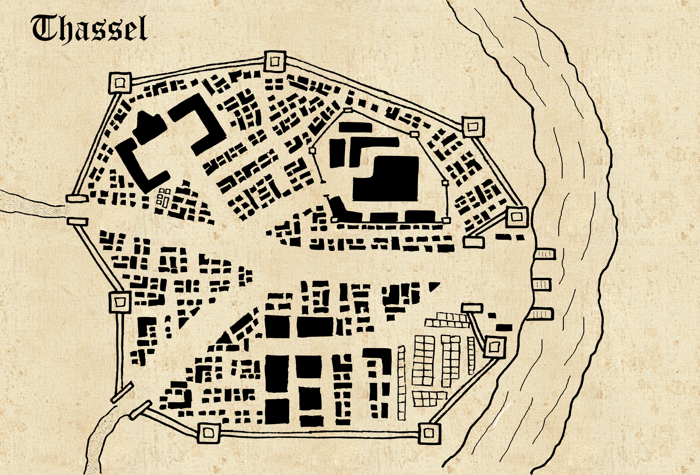
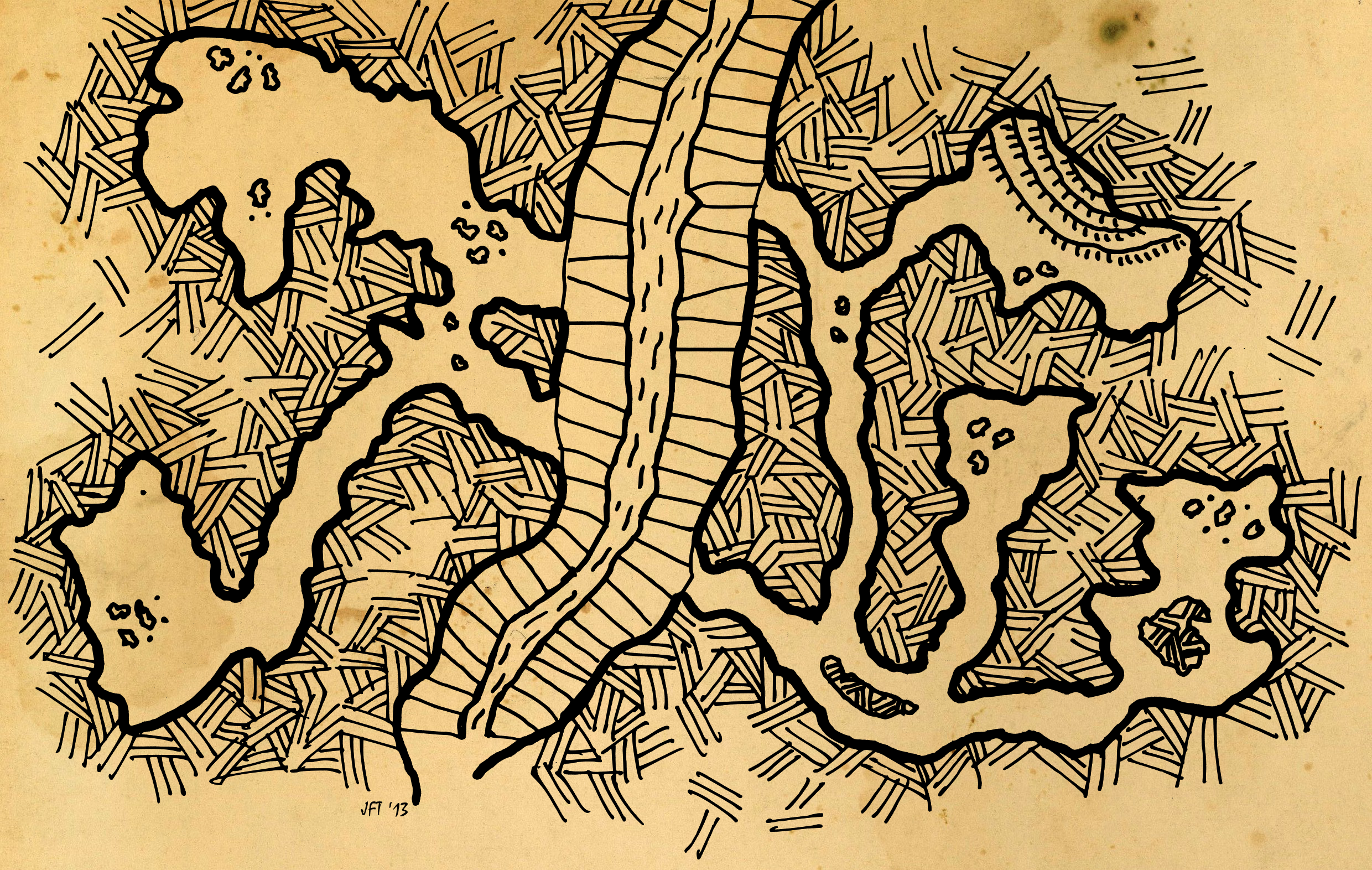
Thassel, a large town, sits south of the Ironcrag mountain range along the Silver River. Thassel’s population numbers around 5,000 residents, though the number fluctuates based on the mining season.

Thassel has existed along the river for centuries. With the downfall of a great kingdom centuries past it struggled as a small mountain town for decade after decade. Ten years ago rich mineral deposits were found in the Ironcrag mountains bringing an influx of people to the town.

Damaged buildings and city walls were repaired as the town was shortly returned to a time of prosperity. The flow of mining revenues and associated services soon had the town bustling with activity as merchants sold their wares and mining companies established bases of operations for their activities in the mountains to the north.

The Mining Companies

Within two years two predominant mining companies had solid footholds for their business in Thassel. Ravenflight Mining maintains the majority of their holdings in an area of mountains northwest of the city. Rusted Hammer Mining maintains their stakes in a northeastern portion of the range.

Ravenflight Mining was one of the early companies to establish claims when richer deposits of silver and iron were discovered. They organized quickly and staked out several mining areas in the easier to reach slopes and canyons of the mountains. Using these as their basis they expanded into harder to reach portions of the mountain range. They protected their claims vigorously, and are not beyond using physical intimidation to keep other miners – both organized and independent away.

Rusted Hammer Mining formed out of a trio of independent mining groups struggling to work their claims as Ravenflight Mining grew in size. With mines northeast of town in the Ironcrags transport of the mined ores was problematic. These three banded together with the idea of combining resources and floating their excavated product doe the Silver River. Met with skepticism the newly formed Rusted Hammer Mining company did just that. Soon the river was busy with their boats working their way up and downstream. So successful were they in this means of moving the ores out of the mountains by water they quickly rose to be the other prominent mining company in town.

While Ravenflight Mining and Rusted Hammer Mining are competitors, the Ironcrag Mountains offer enough ore rich deposits to keep the rivalry between the two from escalating too violently. Both honor each others claims for the most part and save for an occasional brawl breaking out in a tavern between intoxicated workers the relations are peaceable enough.

Government

Thassel is governed by a council of five members. Ravenflight Mining and Rusted Hammer Mining each have a representative on the council. A third spot is held by a merchant guild who oversees many of the market booths. The fourth position on the council is held by one wealth, selected during an annual banquet in the government district of Thassel. The fifth and final position is held by a person selected by the popular community, also during an open meeting once a year. Many suspect the fifth position is simply a facade and pre-selected by the other four council members prior to any open meeting.

Despite a bias towards the mining industry and commerce in general, the council has served the town of Thassel well. The mining companies have kept a steady influx of residents employed and the monies earned typically flow back through town. Thassel is in better shape than just a decade ago and continues to thrive as long as the ores in the Ironcrags continues to be mined in a profitable quantity.

The council maintains a city watch, supplemented by volunteers. At least some loose sense of rule and law is maintained in the town. While tavern fights spilling into the street may go unpunished, murders and anything above petty theft is bound to be met with some form of punishment meted out. Activities that interfere with either mining operation are apt to be dealt with more heavy handedly.

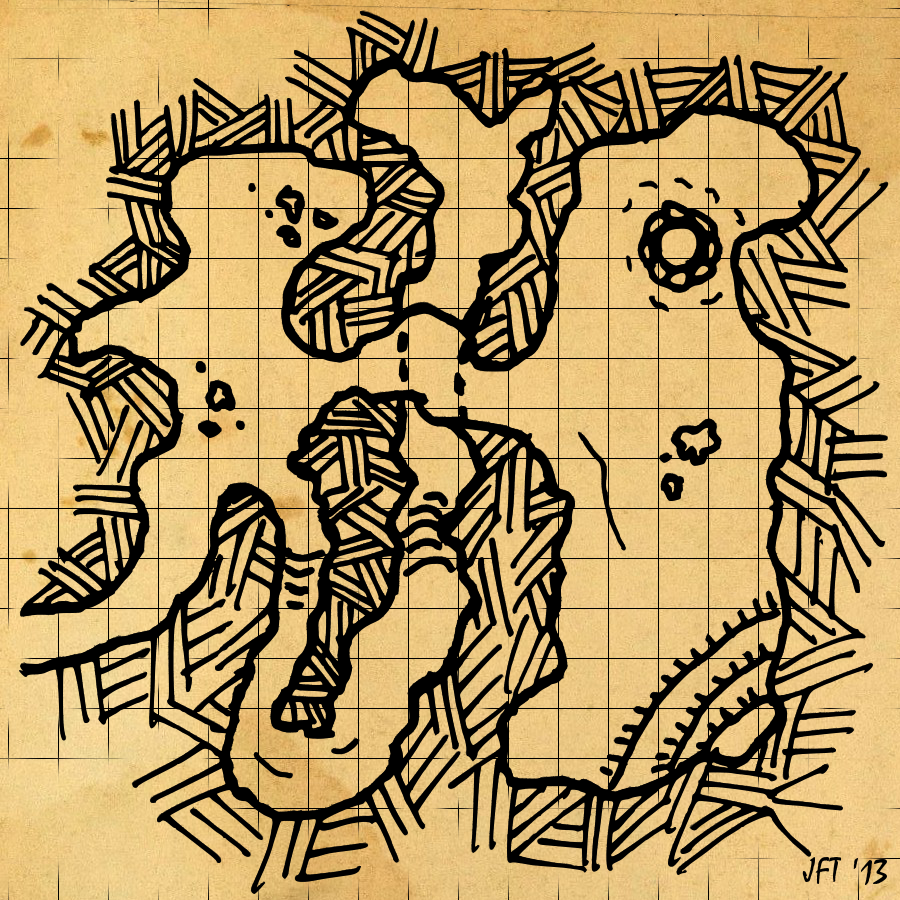
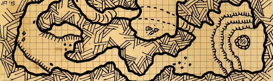
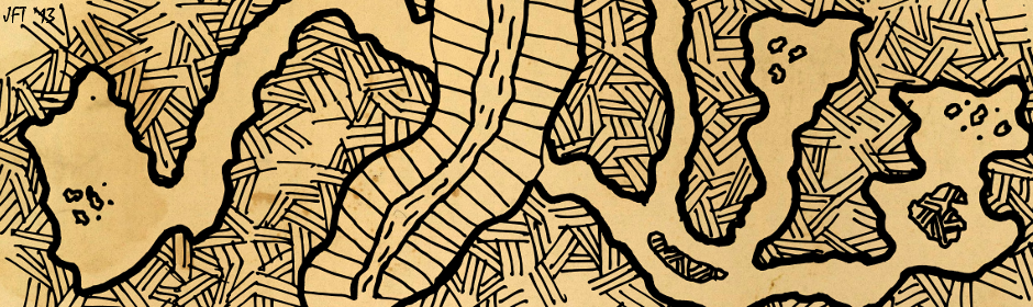
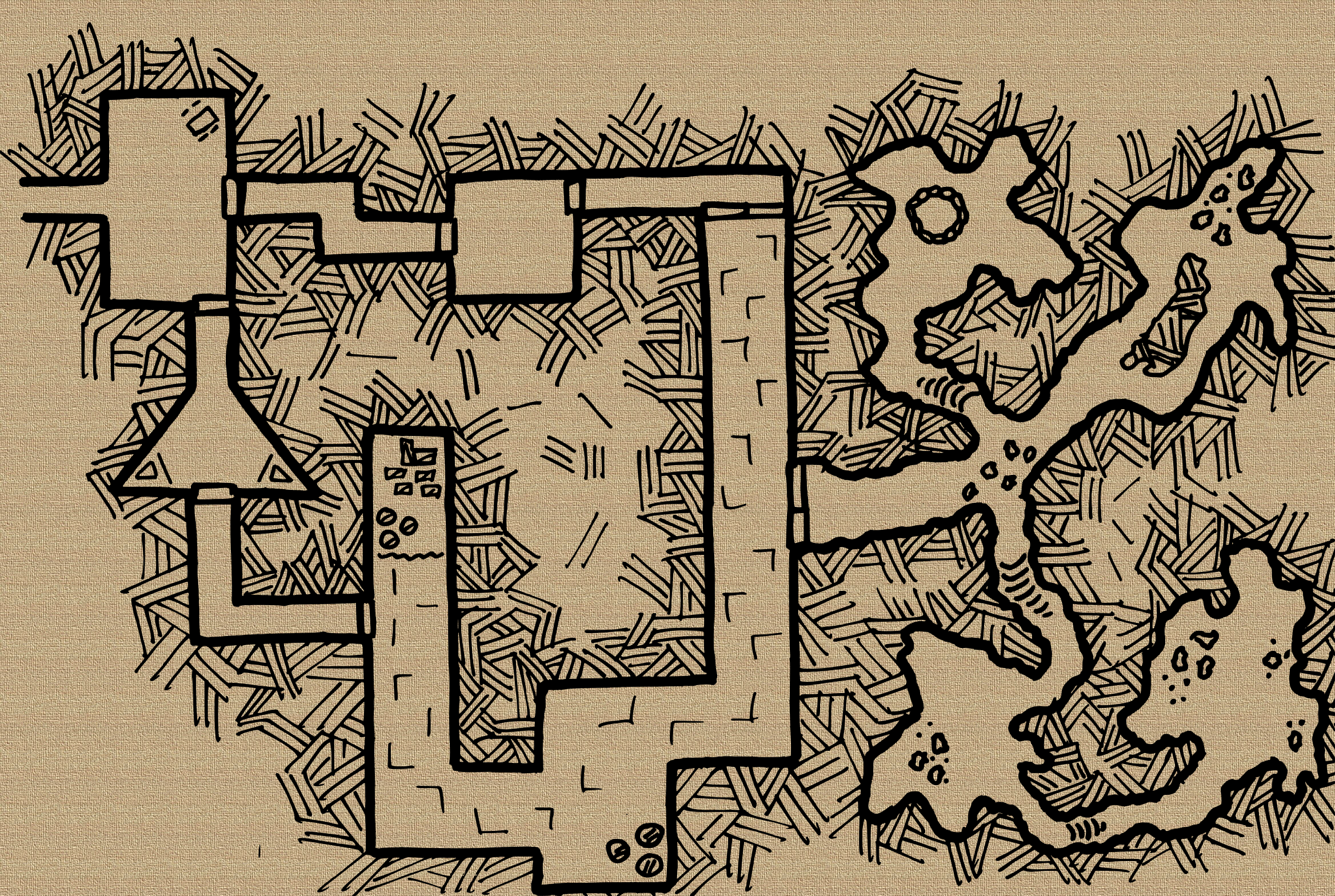
Thassel and Stonehell

Thassel was once a city-state within a kingdom of authoritarian rule over a century ago. The kingdom fell, its people liberated from their ruthless and often sadistic potentate. Thassel struggled in the time that went by, finally beginning rebuilding as ores were found in the Ironcrags north of the town.

As Thassel began to flourish again, the tales of Stonehell, now a crumbling prison, began to spread amongst the townspeople. Stories of the horrors that occurred there over a century ago and the rumored atrocities that still occur at the hands of a myriad of occupants.

The stories of Stonehell spread and with them came an influx of adventurers and risk takers. Many seeking riches, some seeking fame. Some adventurers never return from the prison, some return changed, and others come back through buying drinks for any at their tavern of choice.

Stonehell resides a six hour journey from the town of Thassel, a spur of a worn path turning from the main mining camp route to the west and heading north into the narrow canyons of the Ironcrags.

Bandits are said to live in the forest at the base of the mountains, the same ones that prey on payroll caravans to the mining camps in the mountains. When the problem becomes too bad the Thassel council and mining companies out up an amount of gold and sellswords head that way to deal with the problem. Sometimes they chase the bandits from their hideouts, sometimes the bandits turn the posses back. Other times Stonehell itself claims another set of victims.

G+ Event Banners Redux

At the end of March I posted six banners for G+ Events (they work well for Facebook cover pages and Twitter banners too). Recently G+ updated and increased the size one could use for G+ event banners making the ones I posted at the end of March unusable.

Bigger banners for events are cool! So here is a new set of banners for use in your G+ Events that work with the new larger size.

To use these banners for your own events right click and save the image to your own computer. When creating your G+ Event you can choose Change Theme and select the Upload option. Drag the uploaded image to the box or browse to the location you downloaded the map banners to.

Enjoy!

G+ Event Banner 1

G+ Event Banner 2

G+ Event Banner 3

G+ Event Banner 4

G+ Event Banner 5

G+ Event Banner 6

G+ Event Banner 7

G+ Event Banner 8


Map: Old School Blues

It is Thursday! Time for a random table! Er, well – today I am posting up a map instead. I have a few more weeks worth of random tables planned, but today I am taking a break and posting up a map. It has been several weeks since I have done a map post.

All of the maps I have posted here (and over at G+) have been hand-drawn maps, typically caves and other underground structures. I have been doing several map commissions recently which have been a lot fun. And I have also done a few tavern-style maps which has been an interesting twist from the typical cave or dungeon look I have been doing.

Today I branch out a little bit and worked up a map in Gimp in “old school blue” style.

I find these blue-style maps sort of interesting. I mean really, they are pretty simple. Many of the hand drawn maps I have been doing include much more interesting terrain features than one would find in some of these “old school blue” maps. The nostalgic chord these “old school blue” maps strike is pretty deep though. Something about them just conjures up memories of many a long night spent delving into the depths of the unknown.

This map has been left unnumbered and I have not populated it with anything. Let your imagination roam with this one!

This map is free for personal use and released under the Creative Commons CC-BY-NC-SA.

Shrine of Srisatha

D&D Old School Blue Map

Mother’s Day Map

Last night I worked up a ‘Happy Mother’s Day’ map. It was sort of a quick map, but in the spirit of Mother’s Day I am going to go ahead and post it up today! Now you can get some dungeon crawling in while celebrating Mother’s Day!

These can be printed for last minute Mother’s Day cards too!

Parchment Background Version

Parchment Version

White Background Version

Happy Mother's Day Map


Map: Deerpond Village

Over the past few months I have been working to improve my mapping skill and made reasonable progress along the way. Earlier this week I was asked how much I worked with color. I thought for a moment and realized all of my maps are quite black and white save for the backgrounds I drop in behind them.

I am not sure why it had not occurred to me to play with color and my maps. I think a lot of it is because I like the old school feel of the black and white maps and the hashing. I think they come off looking clean and are by their very nature printer friendly.

I decided I wanted a village to toy around with coloring in the map. One day at lunch this week I drew up a small village near a pond. This was done in Sharpie Pens. I skipped the pencil step for this map as I was just letting things flow and was not necessarily trying to recreate something I already had in my mind beyond the bare basics.

Once the map was complete I scanned it in at home that evening and cleaned it up a bit and tossed in the background. From there I used Gimp and some watercolor brushes to color the following map.

I think it came out fairly well for my first real attempts at playing with color with my maps. And with that, I present you with Deerpond Village:

Deerpond Village

Deerpond Village

Deerpond village takes its name from the small pond to the north of town. On many an early morning several deer can be seen drinking from the pond. The village sits on top of a small rise, gaining a good view of the surrounding low rolling hills.

The village is a very small community, home to a handful of houses and a large inn, The Scarlet Pheasant. The inn serves several roles for both the villagers and travelers through the area providing lodging, food, and acting as a community center for Deerpond Village.

The residents of the village primarily make their living off the land with excess furs and meat from hunting being traded and sold. The folk are a good people and enjoy the tough life in the near wilderness.

Plot Hooks

  • Recently the hunters have been returning from their hunts reporting finding large humanoid footprints coming down from the more rugged hills several miles away. The hunters believe the hill giants are wandering further from their homes than normal. Each week the prints get a little closer to the location of the village. Is something chasing the hill giants from the hills or are the hill giants expanding their area of control?
  • A day to the west lies a larger city. On a bi-monthly basis a pair of wagons leaves Deerpond Village to carry goods to the city for trade and bring back items the villagers cannot produce on their own. Over the past months bandit activity on the road west has been growing. There is talk among the village they may be forced to stop their trade to the west until the bandit issue is dealt with.
  • Just east of town past the switchback in the road is a small graveyard. The graveyard has been used for many years with gravestones predating any local knowledge of the current residents. Last week two of the gravestones dated from over 150 years ago were found tilted askew and the earth appearing freshly turned. Skeletal footprints were seen leaving the gravesite and then disappearing. Some of the finest hunters have tried to track the prints and failed. None are brave enough to dig up the two graves and confirm if the bodies are still laid to rest.

Map: Wishing Well Cave

I have several irons in the fire at the moment, so today’s post will be short! But, given this is Wednesday and Wednesday has become a semi-regular map day, I present a micromap!

This map was originally done on a Post-It note. I used Sharpie Pens for the inking. The Post-It was scanned in and subsequently manipulated in Gimp and Inkscape for the final result. I have a whole collection of these micromaps, but I have not quite decided what I am going to do with them yet.

We’ll call this one The Wishing Well Cave…

Wishing Well Cave

G+ Event Banners

I started converting some of the maps I have drawn into G+ Event Banners for my own games. I think they came out looking pretty good and more banners for use in scheduling your RPG related events is always a good thing!

To use these banners for your own events right click and save the image to your own computer. When creating your G+ Event you can choose Change Theme and select the Upload option. Drag the uploaded image to the box or browse to the location you downloaded the map banners to.

Enjoy!

G+ Event Banner 1

G+ Event Banner 2

G+ Event Banner 3

G+ Event Banner 4

G+ Event Banner 5

G+ Event Banner 6

Map: Bloodrock Canyon

I drew this map a weekend or two ago. I started experimenting with a chasm effect, this particular one has a river winding through the bottom of it. Either side of the chasm has a series of caves winding their way through the rock.

The map was drawn on graph-lined copy paper and then scanned. After I scanned it I did some work in Gimp and Inkscape to clean things up and add a background. I have finally gone on the hunt for some more background patterns, which I think turned out well. I also added a graph to the map. I know some like their maps to have the graph lines on it. I do like the look of it with the graph lines included.

For those that would like to use this map, but prefer it without the grid, you can download a gridless copy as well.

Blood Rock Canyon

Bloodrock Canyon

Nestled in a remote mountain range the Arinizak River winds down from the mountains passing through this chasm. Hunters venturing this far into the mountains call this area Bloodrock Canyon.

Decades ago a single tribe of kobolds made this area their home. The Bloodrock Kobolds utilized both sides of the chasm, using rope ladders and small rafts to cross the river and scale the walls to the caves perched in the canyon walls.

Thirteen years ago the Chieftain Kyro Bloodrock’s son was found murdered in his living area.  The Chieftain Kyro suspected the Redskull family, also members of the tribe for this act. He claims it a power play to take over control of the entire tribe.

An intra-clan feud escalated under these accusations leading to bloodshed amongst the clan. The Redskull kobolds retreated to the western side of the canyon, slaughtering any Bloodrock kobold who did not leave the western caves, the Redskull kobolds soon controlled the western side, the Bloodrock kobolds the eastern side.

With a canyon separating the now two distinct clans, the feud did not end there. Both sides began constructing small wooden catapults. On a weekly basis one side or the other will initiate a launch of small rocks across the canyon towards the other. The rocks clattering against the far walls, on rare occasion actually inflicting a casualty.

Occasional skirmishes will break out along the river as one clan launches rafts to head downstream for foraging. These occur much less frequently as both sides seem more content to hurl rocks from one side of the canyon to the other than engaging in any form of actual melee combat.

This clan feud between the kobolds seems set to continue on for decades more…

Map: Bandit Stronghold

This map was drawn over the weekend. Unlike several of the maps I have posted so far, this one did not originate as part of the Friday Five Minute Map challenge. Rather it was some doodling during downtime over the weekend.

A lot of my previous maps have been done on plain sheets of paper, no grid lines to help square things up. This map was done on printed graph paper. The lines were faint and removed during the scanning/Gimp/Inkscape process I have been using to clean-up the maps.

I have been relatively happy with how my cave maps have been coming along. This map includes some cave work off the side. It also includes several man or dwarf created rooms as well. I am working on “spicing” these rooms up with some objects and such to keep them from being so plain. Still need some more work in this area, but the rooms on this map have a little more going on than in some of my previous maps.

Bandit StrongholdBandit Stronghold

This stronghold is nestled deep in the rocky hills just outside of town. A maze of game trails cross the hillsides, winding their way in and out of the the small valleys and hollows.

Several small caves dot the area, most only a chamber or two in size. The one’s closest to town are frequent play places for the children of the town. Others are protected by animal inhabitants who call the caves their own.

One hollow is particularly rocky, several deer trails leading in and out of the area. The rock covered slopes nearly make traversing the slope on anything but a game trail near impossible. The slopes keep the valley in the shade most of the day, the temperatures a good couple of degrees cooler in this hollow.

The entrance to this smuggler’s stronghold is obscured by an oblique stone. Behind it is the entrance to one of the more expansive tunnel complexes in the area. Apparently abandoned by dwarves of centuries past, a group of enterprising smugglers known as the Blue Hoofed Bandits found the location and began using it as a base of operations for their illegal activities.

The Blue Hoofed Bandits primary use this stronghold as a storage place for good in transit waiting to be fenced and as a rendezvous point before and after their operations. The front portions of the complex are used for short term storage.

Should the stronghold ever need defended the bandits use the worked dwarven carved rooms as an initial defense point. The group only makes a cursory defense in this front portion of the stronghold, preferring to fall back to the natural caves which act as a natural choke point.

Though there are no obvious exits from the back of the stronghold, the well in the northern cave chamber is said to act as a quick exit to a lower level of the caves. Where these lower chambers of the caverns lead are unknown to all but the bandits that call this stronghold their home.

Map: Brewster’s Basement

This week’s Friday Five Minute Map challenge over on Google+ was to post an isometric map. This challenge was a bit intimidating to me, as I am just now getting comfortable with the cavern maps with hatching I have been practicing. I was quickly reminded the point of a challenge was to actually be  a challenge and I started to view a few other maps in preparation.

Using isometric graph paper and pencil I was able to get the basic outline of my map down on paper within five minutes. Do not underestimate the importance of using isometric graph paper to help you with an isometric map. Once I had my basic outline done in the five minutes I then spent more time adding some detail and re-doing the lines in ink. This week’s map is a little smaller as I was unsure of the amount of time it would take to draw the stairs.

Once the extra details were done, I scanned the image, tweaked some things in Gimp and Inkscape and finally back to Gimp to fix-up a background. Details on the steps I use are written up in Matt Jackson’s blog post and this write-up at Deviant Art.

This week it is Brewster’s Basement, or rather what lies just beyond his basement…

Brewster's Basement

Brewster’s Basement

William Brewster is the proprietor of Brewster’s Pub, a quaint pub in a small crossroads village in a heavily forested region. Known for the Golden Hook Ale, familiar travelers through the forest always take time from their travels to enjoy an ale or two before heading on.

William is of slight stature and has shoulder length gray hair, typically tied back in a ponytail. He moves gracefully for his age and is a hard worker. His memory is impeccable and he remembers previous visitors of the pub by name, greeting them as they enter. William has been in this village for many years and none of the locals know his story from before he arrived.

William built Brewster’s Pub over the burned out ruins of a small homestead decades ago. Only the ruined cellar and base foundation remained when he built those many years ago. The foundation stones today are still blackened from the flames that claimed the original structure.

Brewster’s Pub is now a two story structure. The first floor contains a common room and a cramped kitchen just off the back. The second story is more akin to a closed off loft, providing just enough room for William to live above the pub.

A small cellar sits below Brewster’s Pub. Stock overflow is kept here as well as several keg racks. On the back wall is a warping oak door, iron bands holding the planks together. William has not opened this door since the pub was built, he frequently has a stack of kegs in front of the door obscuring the view of the door from those descending the stairs from above.

What lies beyond the door?